Cutting-edge innovations for diverse applications
Haze Removal & Image Clarity
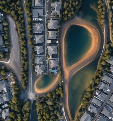
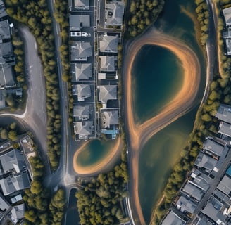

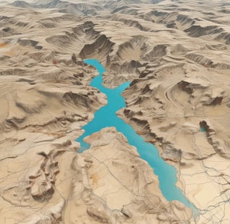
Improve the precision of satellite and aerial imagery by eliminating haze and distortion—ideal for urban planning, environmental monitoring and disaster response.
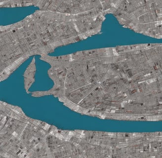
Feature Extraction & Analysis
Automatically extract radiometric and texture features from optical and SAR data to support precision agriculture, forestry, resource mapping and infrastructure analysis.
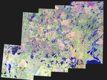
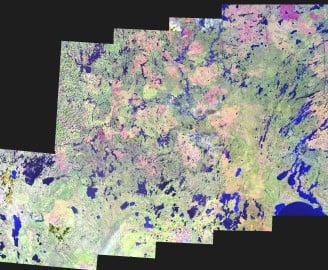
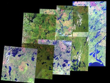
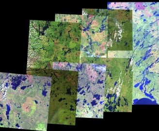
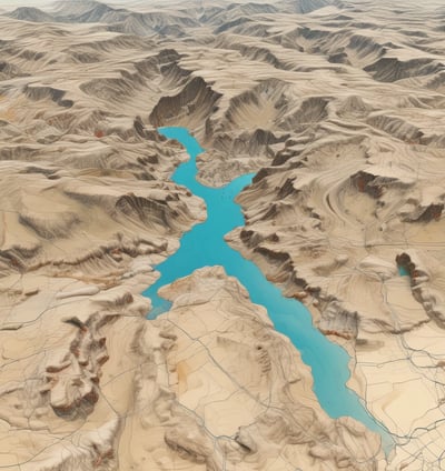
Multisensor Data Fusion
Integrate optical and radar imagery for reliable, all-weather, day-night monitoring—crucial for flood mapping, terrain analysis and national security.
Custom R&D & Algorithms


Develop tailored image processing tools and analytics to meet specific mission needs in defense, mining, climate monitoring and public safety.
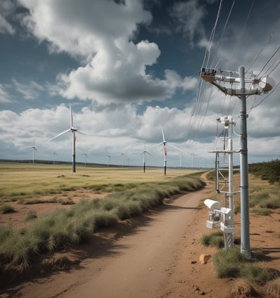
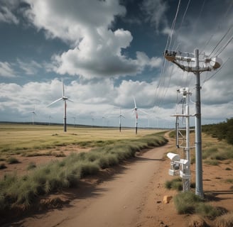
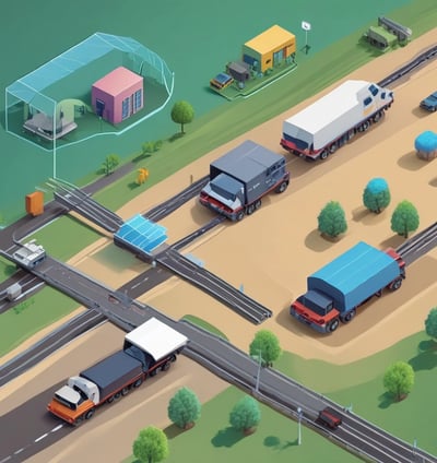
Application-Specific EO Services
Deliver full-cycle geospatial intelligence—from raw data processing to AI-based classification—for sectors like energy, transportation and land management.
Partnership & Integration
Provide white-label and co-developed EO solutions for government agencies, research institutions and private industry to accelerate adoption and impact.