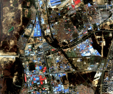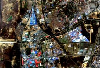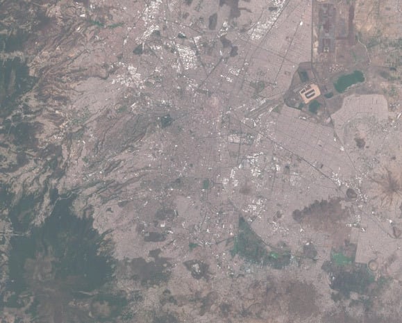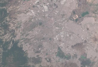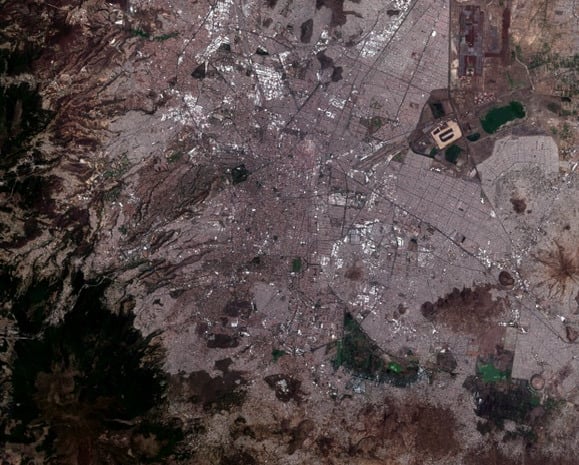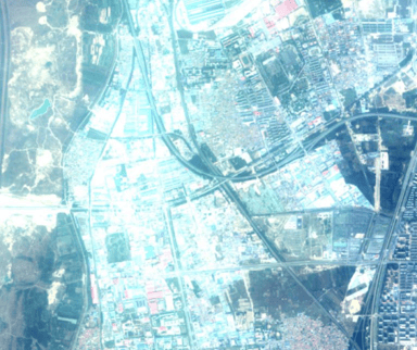
Our team has developed a sophisticated software system that automates the mapping and monitoring of fine particulate aerosols (PM 2.5 and PM 10) in the atmosphere through the use of multi-spectral satellite image data. This innovation is powered by KSKY's proprietary technology, which corrects atmospheric distortions in optical satellite images. As a result, we can effectively analyze the spatial distribution of aerosols, thereby improving our understanding of air quality and environmental health. This groundbreaking technology represents a significant advancement in efficiency and productivity, leveraging advanced algorithms and streamlined workflows to deliver accurate insights into atmospheric conditions.
Full-Resolution AI Remote Sensing PM2.5 & PM10 Scanning Monitoring System
Novel technology